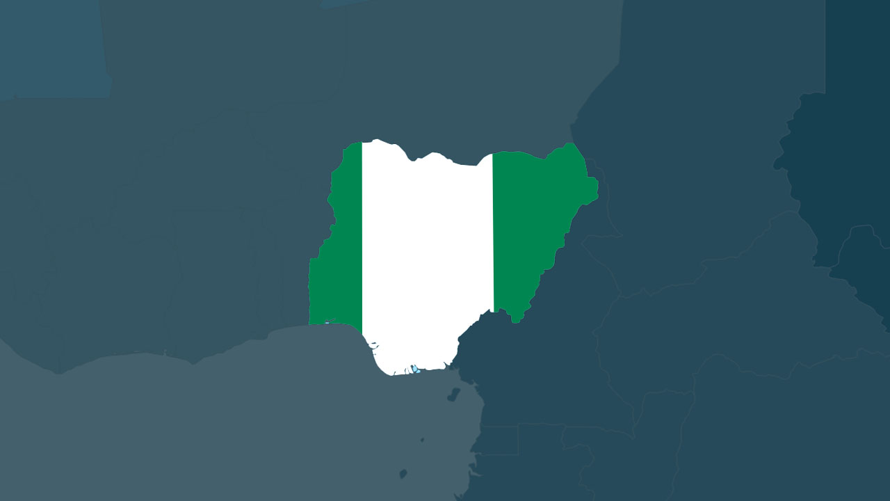
Abuja, Nigeria’s capital and eighth-most populous city, is centrally located within the Federal Capital Territory (FCT). It became the nation’s capital on December 12, 1991, moving from Lagos by the decision of the then military ruler, Ibrahim Babangida.
A postal code (also known as a postcode or ZIP code) is a combination of letters and numbers designed to aid in the sorting and delivery of mail by defining geographical regions.
Below is the postal code information for Abuja Municipal and surrounding Local Government Areas (LGAs):
- Abaji L.G.A
- Abuja
- Bwari L.G.A
- Gwagwalada L.G.A
- Kuje L.G.A
- Kwali L.G.A
Abuja Postal Codes
The postal codes for Abuja are carefully structured to reflect the specific districts and regions within the city. Here is a detailed breakdown of the postal codes assigned to different areas in Abuja:
Central Business District:
- Central Business District: 900211
Garki Area:
- Garki Area 1: 900241
- Garki Area 2: 900242
- Garki Area 7: 900247
- Garki Area 8: 900248
- Garki Area 10: 900250
- Garki Area 11: 900251
Wuse:
- Wuse Zone 1: 900281
- Wuse Zone 2: 900282
- Wuse Zone 3: 900283
- Wuse Zone 4: 900284
- Wuse Zone 5: 900285
- Wuse Zone 6: 900286
- Wuse Zone 7: 900287
Maitama:
- Maitama: 900271
Asokoro:
- Asokoro: 900231
Gwarimpa:
- Gwarimpa: 900108
Other Areas:
- Kubwa: 901101
- Karu: 900110
- Lugbe: 900107
Understanding the Structure
Abuja’s postal codes are six digits long, where the first three digits typically identify the main district, and the last three digits pinpoint more precise locations within that district.
Importance of Correct Postal Codes
Utilizing the correct postal code is crucial for ensuring that mail and packages are sorted accurately and delivered promptly. Incorrect or omitted postal codes can result in delivery delays or the misrouting of mail.
The postal code system in Abuja reflects the city’s organized layout. Knowing the correct postal codes is essential for residents and businesses to facilitate efficient mail and package delivery. Always use the correct code for your specific location, and if unsure, consult the local postal service or use an online tool to verify the correct postal code.
Frequently Asked Questions (FAQs)
Q1: What is the FCT zip code?
The Federal Capital Territory (FCT) does not have a single ZIP code. Instead, ZIP codes in Abuja, the capital city of Nigeria, are specific to different areas within the FCT. Refer to the detailed list of postal codes provided for specific areas in Abuja.
Q2: What is Abuja Municipal Zip Code?
Abuja Municipal Area Council (AMAC) covers a significant part of Abuja, and its ZIP code varies depending on the specific locality within the council. Refer to the comprehensive list of postal codes provided in the article to find the ZIP code for your area within Abuja Municipal.
Q3: What is the code of Abuja?
Abuja, being the capital city of Nigeria, is divided into various districts and regions, each assigned a specific postal code. Refer to the article for detailed postal codes corresponding to different areas within Abuja.
Q4: Is 23401 the zip code for Nigeria?
No, 23401 is not the ZIP code for Nigeria. It is a ZIP code for a city in the United States, Keller, Virginia. Nigeria does not have a single ZIP code; instead, ZIP codes are specific to different cities, districts, and regions within the country.
Q5: Is +234 Nigeria’s zip code?
No, +234 is not Nigeria’s ZIP code. It is the international dialing code for Nigeria. ZIP codes are specific numerical codes assigned to different areas within the country to facilitate mail sorting and delivery.
Q6: Does Nigeria have a 5-digit zip code?
No, Nigeria does not use a 5-digit ZIP code system. Nigerian postal codes typically consist of six digits and are used for sorting and delivering mail accurately within the country.
Subscribe to our Newsletter
Stay updated with the latest trends in African technology!


